While our focus remains on perfecting a single core capability, we see a growing range of potential applications for our technology:
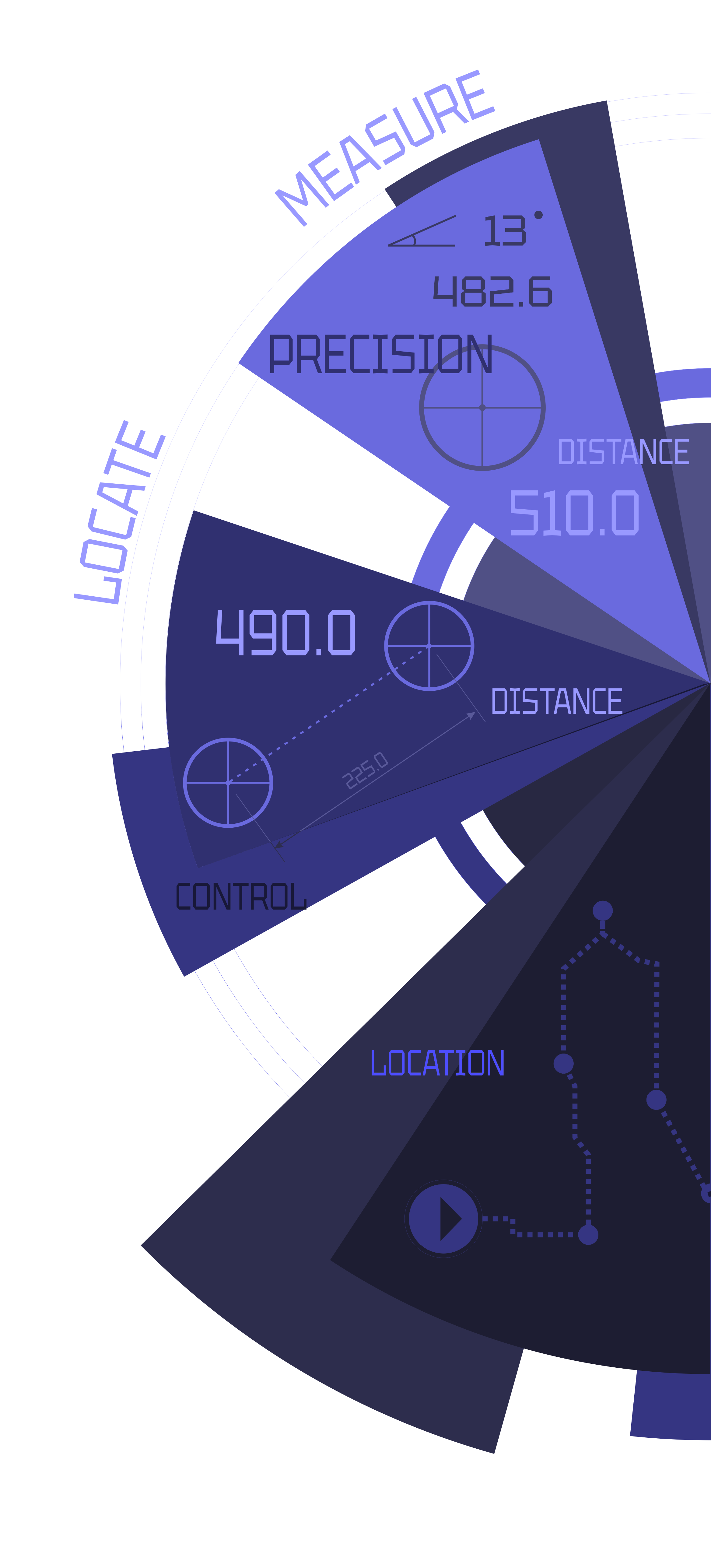
· All-Purpose Range Finding: Serves both recreational and industrial needs, offering precise, flexible range finding without the requirement for specialized tools.
· Physical 2D/3D Object Mapping: Accurately captures spatial properties of physical objects, producing detailed two-dimensional and three-dimensional mappings.
· Positioning of Physical Objects: Provides reliable, precise positioning and spatial awareness for objects, supporting various use cases where accurate tracking is critical.
· Augmented Reality: Elevates AR experiences by incorporating real-time spatial measurements, enhancing interaction between digital elements and the physical world.
· Construction Progress Monitoring: Tracks and documents changes on construction sites over time, enabling efficient progress tracking, quality control, and safety checks with minimal effort.
· Real Estate: Enables users to measure and map outdoor spaces, buildings, and layouts quickly, supporting space planning, property assessments, and exterior design visualizations.
· Forestry and Environmental Management: Measures distances, maps terrain, and analyzes natural environments, providing valuable data for forest management, environmental conservation, and land surveying.
· Geospatial Surveying and Mapping: Gathers accurate spatial data for surveying and mapping large areas, supporting fields such as geology, archaeology, and urban planning.
· Drone Integration: Extends drone capabilities, allowing them to measure distances, map environments, and accurately position objects while in motion.
And this list keeps growing as we continue to uncover exciting new possibilities for our technology.